Lorem ipsum dolor sit amet, consectetur adipiscing elit. Ut elit tellus, luctus nec ullamcorper mattis, pulvinar dapibus leo.
Contact with
us for any
soluton
Call Anytime
+ 1300 999-7788

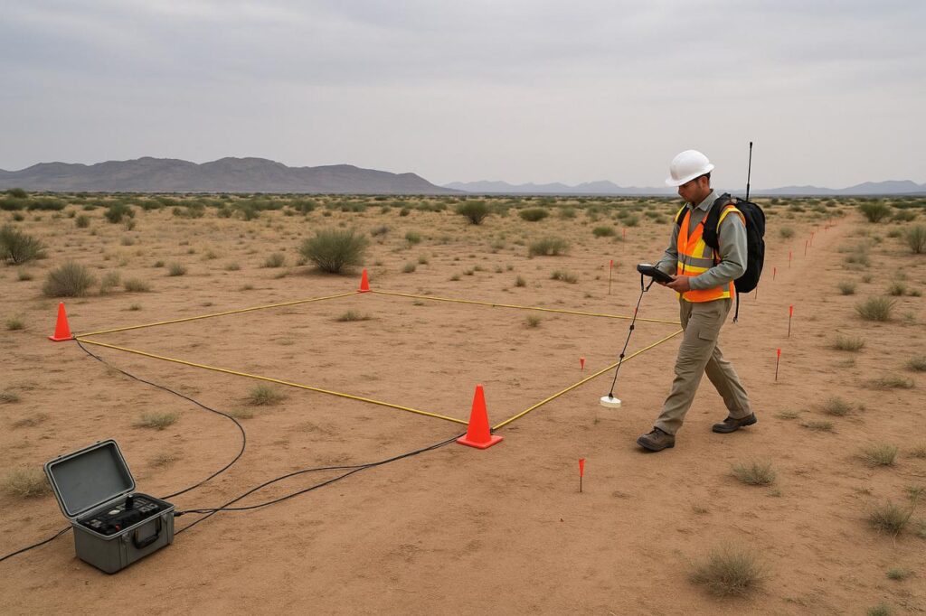
Exploration Services
We utilize cutting-edge technology and multidisciplinary expertise to locate and assess water resources efficiently.
- Surface Geophysics & Borehole Geophysical Surveys
Using electrical resistivity, seismic refraction, and electromagnetic techniques, we map subsurface structures to identify potential aquifers. Borehole logging further characterizes rock formations and water-bearing zones. - Hydrogeological & Hydrological Investigations
We assess groundwater flow patterns, recharge rates, and surface water interactions through field studies, pumping tests, and watershed analysis to ensure sustainable extraction. - GIS-Based Analysis & Remote Sensing Interpretation
Spatial data integration helps identify water sources, land use impacts, and recharge zones. Satellite imagery and drone surveys support large-scale hydrological assessments. - Groundwater Potential & Aquifer Recharge Mapping
By analyzing rainfall, soil permeability, and geological data, we pinpoint high-yield zones and design artificial recharge strategies to enhance water security. - Site Selection for Sustainable Water Development
Our evaluations consider environmental, social, and technical factors to recommend optimal locations for wells, dams, or infiltration systems.
Drilling Supervision & Well Testing
We ensure wells are expertly designed, constructed, and tested for long-term performance.
- Groundwater Well Design & Specification
Custom designs for depth, casing, and screen placement based on aquifer properties, preventing contamination and optimizing yield. - Drilling Supervision & Contractor Oversight
On-site experts monitor drilling operations, ensuring adherence to technical standards, safety protocols, and environmental regulations. - Pumping Tests for Aquifer Performance
Constant-rate and variable-rate tests measure sustainable yield, drawdown effects, and hydraulic conductivity to size wells appropriately. - Step-Drawdown & Recovery Test Analysis
Evaluates well efficiency and identifies losses due to turbulence or clogging, guiding rehabilitation efforts. - Downhole Video Inspection & Well Logging
High-resolution cameras and sensors detect structural damage, biofouling, or sedimentation, informing maintenance needs.
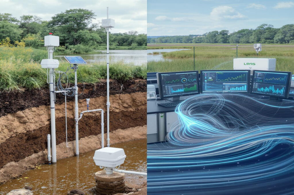
Water Monitoring & Management Solutions
Data-driven strategies for safeguarding water resources over time.
- Groundwater & Surface Water Level Monitoring
Automated sensors track seasonal fluctuations, over-extraction risks, and drought impacts for adaptive management. - Quantity & Quality Assessment
Comprehensive testing for contaminants (nitrates, heavy metals), salinity, and microbiological hazards ensures safe usage. - Long-Term Hydrological Monitoring Systems
Permanent installations provide continuous data on rainfall, evaporation, and flow rates to detect trends. - Real-Time Data Integration & Dashboard Setup
Cloud-based platforms visualize sensor data, enabling instant alerts and informed decision-making for stakeholders.
Modeling & Risk Assessment for Water Security
Advanced simulations to optimize planning and mitigate threats.
- Groundwater & Surface Water Flow Modeling
Predicts impacts of extraction, land-use changes, or climate shifts using MODFLOW, FEFLOW, or MIKE SHE software. - Aquifer Storage & Recovery (ASR) Feasibility Simulations
Tests artificial recharge viability, including injection rates, water quality interactions, and storage capacity. - Flood Hazard Mapping & Predictive Modeling
Identifies high-risk zones using historical data and climate projections, supporting infrastructure resilience. - Water Balance Studies & Climate Resilience Planning
Quantifies supply/demand gaps under drought scenarios and designs adaptation strategies (e.g., rainwater harvesting). - Offshore Fresh Groundwater Modeling
Assesses submarine freshwater reserves for coastal or island communities facing saltwater intrusion.