Innovating sustainable solutions through digitalization, automation, and AI-driven analytics for energy, water, and environmental sectors.
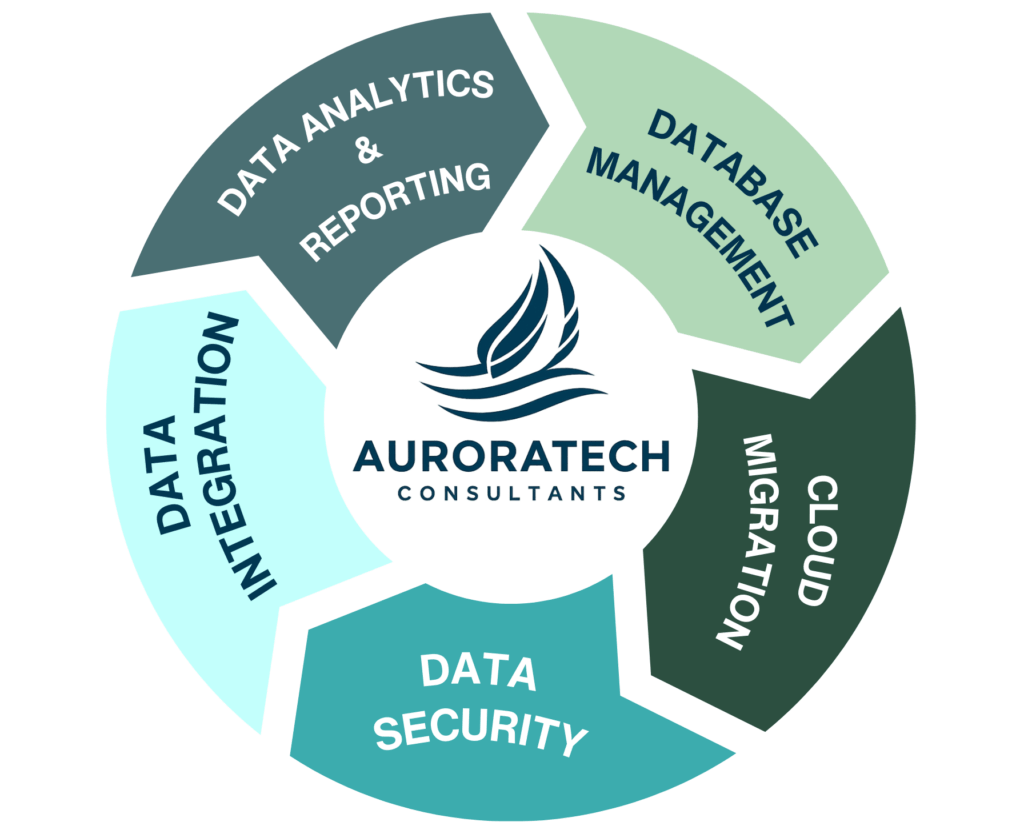
Comprehensive Data Management services
Our Client-Focused Process
How We Help
